Technology · RPAS

RPAS / Drone Inspection

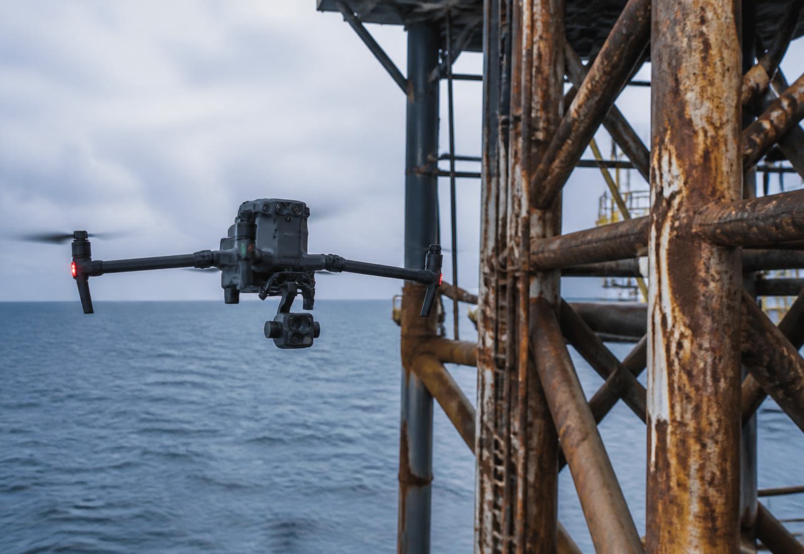
Asset inspection data captured from the air, interpreted by mariners who know what the structure is meant to be doing.

Capability

What we capture

Every flight is planned to a defined inspection question, so the output is evidence rather than footage.

Structural & Coating Inspection

Millimetre-detail imagery of splash zones, topsides, cranes, flares and superstructure, indexed to your asset register.

Thermal & Radiometric Survey

Calibrated thermal capture for insulation loss, hotspots, vent and flare condition, and electrical anomalies.

Confined & Elevated Space

Tanks, holds and voids surveyed without entry — reducing permits, exposure hours and shutdown time.

Site & Progress Documentation

Repeatable flight lines for progress records, incident documentation and stakeholder reporting.
Method

How an inspection runs

Four stages, each with a documented output — so findings hold up with class, regulator and insurer.
  1. 01ScopeInspection questions, access constraints and acceptance criteria agreed.
  2. 02PlanFlight plan, permits, airspace and safety case prepared.
  3. 03CaptureOn-site flights with redundancy and quality checks in the field.
  4. 04ReportAnnotated findings register, imagery library and recommendations.
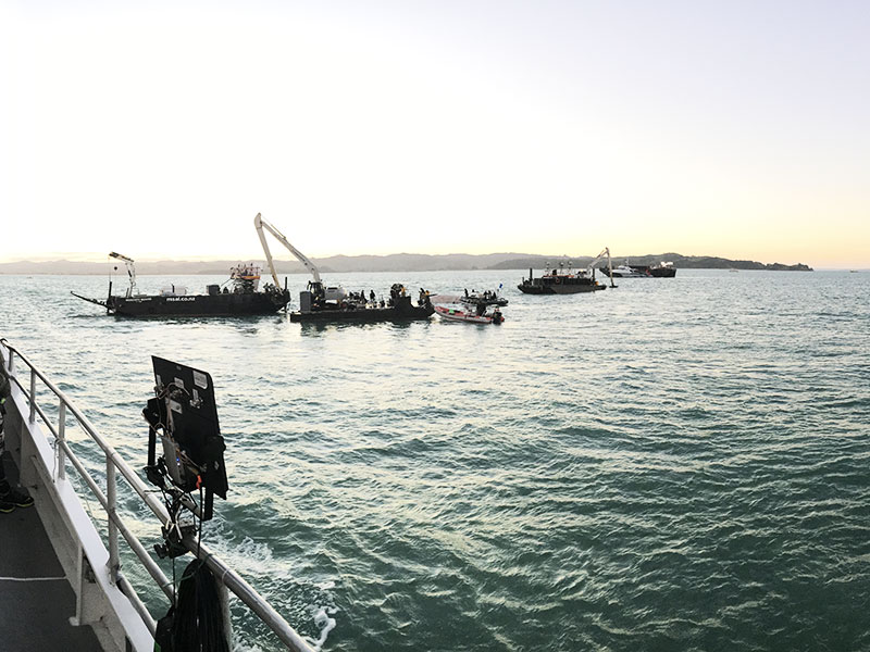
RPAS monitoring station on a vessel deck overlooking barges and a crane at sea
Operations
CASA-compliant RPAS operations
Deliverables
Annotated imagery, thermal sets, findings register
Turnaround
Draft report within 5 business days
Coverage
Perth · WA coast · remote mobilisation
Next step

Plan an inspection campaign

Tell us the asset, the access constraints and the question you need answered.

Industry standing

Affiliations & Memberships